Mynydd Drumau
Introduction
The photograph on this page of Mynydd Drumau by Rude Health as part of the Geograph project.
The Geograph project started in 2005 with the aim of publishing, organising and preserving representative images for every square kilometre of Great Britain, Ireland and the Isle of Man.

There are currently over 7.5m images from over 14,400 individuals and you can help contribute to the project by visiting https://www.geograph.org.uk
Mynydd Drumau
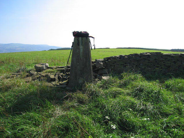
Image: © Rude Health Taken: 20 Sep 2008
Accessed from bridleway to SE below hotel. Steep climb up good path to meet summit ridge at Carreg Bica. It is worth walking the whole summit ridge to enjoy the views. Name: Mynydd Drumau Hill number: 2284 Height: 272m / 892ft Area: 32B: Carmarthen to Vale of Neath Class: Ma Grid ref: SN 72504 00181 Summit feature: trig point Drop: 171m Col: 101m SN736021
Images are licensed for reuse under creativecommons.org/licenses/by-sa/2.0
Image Location


Leaflet Map data © OpenStreetMap
Latitude
51.685677
Longitude
-3.845906