East Road, Oakfield, Cwmbran
Introduction
The photograph on this page of East Road, Oakfield, Cwmbran by Jaggery as part of the Geograph project.
The Geograph project started in 2005 with the aim of publishing, organising and preserving representative images for every square kilometre of Great Britain, Ireland and the Isle of Man.

There are currently over 7.5m images from over 14,400 individuals and you can help contribute to the project by visiting https://www.geograph.org.uk
East Road, Oakfield, Cwmbran
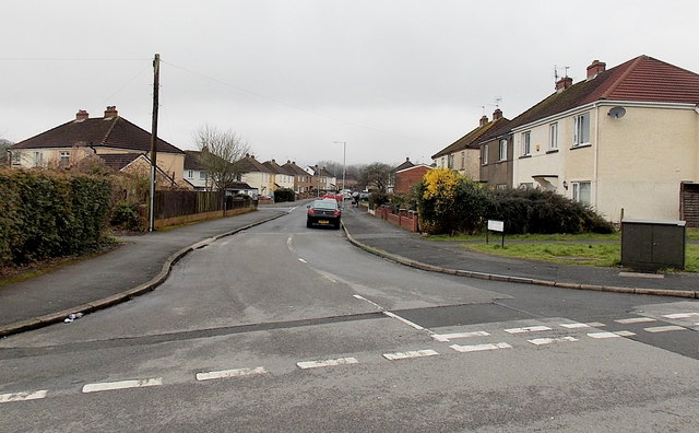
Image: © Jaggery Taken: 9 Mar 2013
Viewed across Green Willows. East Road is in a part of Oakfield with prosaic street names. Other examples are South Road, Fields Road, The Highway and The Close. The local council's street naming department must have had an off day if the best they could come up with was The Close and The Highway...
Images are licensed for reuse under creativecommons.org/licenses/by-sa/2.0
Image Location
Latitude
51.639575
Longitude
-3.017991