The Old Workhouse, The Street, Wickhambreaux
Introduction
The photograph on this page of The Old Workhouse, The Street, Wickhambreaux by John Baker as part of the Geograph project.
The Geograph project started in 2005 with the aim of publishing, organising and preserving representative images for every square kilometre of Great Britain, Ireland and the Isle of Man.

There are currently over 7.5m images from over 14,400 individuals and you can help contribute to the project by visiting https://www.geograph.org.uk
The Old Workhouse, The Street, Wickhambreaux
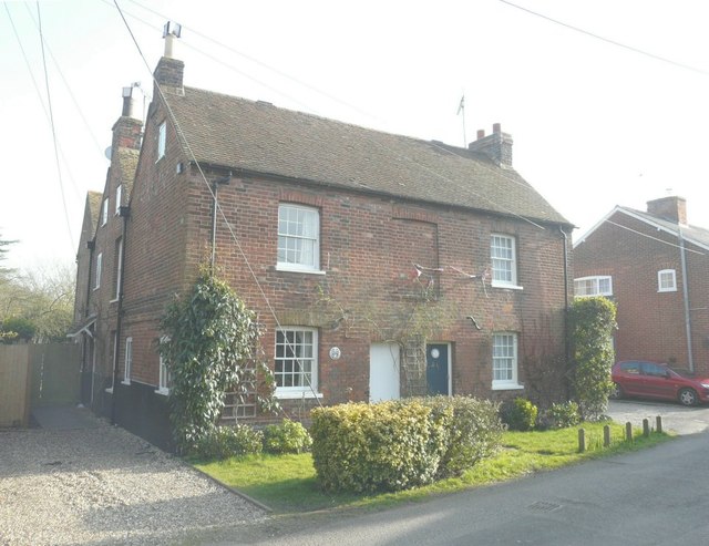
Image: © John Baker Taken: 4 Mar 2013
A semi-detached house with numbers 1 on the left and 2 on the right. A grade II listed building dating from the 17th century, it was formerly the Poorhouse http://www.britishlistedbuildings.co.uk/en-171587-the-old-workhouse-wickhambreaux-kent
Images are licensed for reuse under creativecommons.org/licenses/by-sa/2.0
Image Location
Latitude
51.285119
Longitude
1.18635