Chapel Street View
Introduction
The photograph on this page of Chapel Street View by Gordon Griffiths as part of the Geograph project.
The Geograph project started in 2005 with the aim of publishing, organising and preserving representative images for every square kilometre of Great Britain, Ireland and the Isle of Man.

There are currently over 7.5m images from over 14,400 individuals and you can help contribute to the project by visiting https://www.geograph.org.uk
Chapel Street View
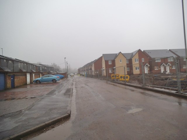
Image: © Gordon Griffiths Taken: 8 Mar 2013
The new Blakenhall Gardens housing development is going up next to Chapel Street. The view on a wet foggy day in Wolverhampton.
Images are licensed for reuse under creativecommons.org/licenses/by-sa/2.0
Image Location
Latitude
52.571024
Longitude
-2.127141