Cut Mark: Cammeringham, Furze Hill
Introduction
The photograph on this page of Cut Mark: Cammeringham, Furze Hill by Brian Westlake as part of the Geograph project.
The Geograph project started in 2005 with the aim of publishing, organising and preserving representative images for every square kilometre of Great Britain, Ireland and the Isle of Man.

There are currently over 7.5m images from over 14,400 individuals and you can help contribute to the project by visiting https://www.geograph.org.uk
Cut Mark: Cammeringham, Furze Hill
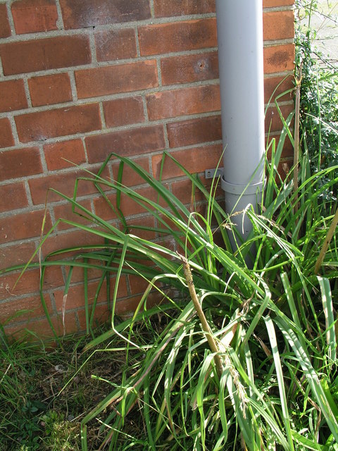
Image: © Brian Westlake Taken: 9 Aug 2012
The cut mark on the NW angle of the house is almost hidden by the down pipe. It is located just below the securing bracket. See http://www.bench-marks.org.uk/bm47557 for details of the mark and http://www.geograph.org.uk/photo/3362247 for a wider view.
Images are licensed for reuse under creativecommons.org/licenses/by-sa/2.0
Image Location
Latitude
53.33109
Longitude
-0.637717