Trews Weir, exeter
Introduction
The photograph on this page of Trews Weir, exeter by Chris Allen as part of the Geograph project.
The Geograph project started in 2005 with the aim of publishing, organising and preserving representative images for every square kilometre of Great Britain, Ireland and the Isle of Man.

There are currently over 7.5m images from over 14,400 individuals and you can help contribute to the project by visiting https://www.geograph.org.uk
Trews Weir, exeter
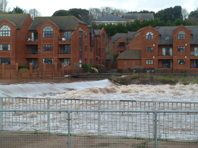
Image: © Chris Allen Taken: 23 Dec 2012
The Exe was spectacularly in flood just before Xmas 2012 and there was considerable disruption in the south-west. The foot path on the far side of the weir was impassable.
Images are licensed for reuse under creativecommons.org/licenses/by-sa/2.0
Image Location
Latitude
50.714412
Longitude
-3.524454