Upper Auchintore
Introduction
The photograph on this page of Upper Auchintore by Richard Webb as part of the Geograph project.
The Geograph project started in 2005 with the aim of publishing, organising and preserving representative images for every square kilometre of Great Britain, Ireland and the Isle of Man.

There are currently over 7.5m images from over 14,400 individuals and you can help contribute to the project by visiting https://www.geograph.org.uk
Upper Auchintore
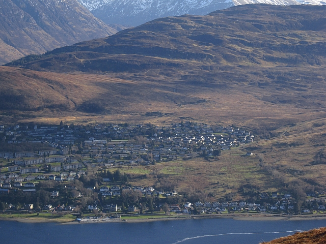
Image: © Richard Webb Taken: 17 Feb 2013
Fort William, seen from across Loch Linnhe.
Images are licensed for reuse under creativecommons.org/licenses/by-sa/2.0
Image Location
Latitude
56.807231
Longitude
-5.114733