Harrold Lodge Farm
Introduction
The photograph on this page of Harrold Lodge Farm by Nigel Stickells as part of the Geograph project.
The Geograph project started in 2005 with the aim of publishing, organising and preserving representative images for every square kilometre of Great Britain, Ireland and the Isle of Man.

There are currently over 7.5m images from over 14,400 individuals and you can help contribute to the project by visiting https://www.geograph.org.uk
Harrold Lodge Farm
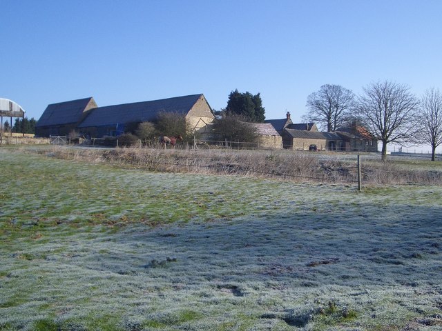
Image: © Nigel Stickells Taken: 7 Feb 2007
Harrold Lodge Farm, near to the Lavendon-Harrold road, is viewed here from the Milton Keynes Boundary Walk on a frosty morning. Harrold Lodge Farmhouse is Grade II listed and dated 1799, though it is not especially visible in this view.
Images are licensed for reuse under creativecommons.org/licenses/by-sa/2.0
Image Location
Latitude
52.187197
Longitude
-0.639595