Boscombe: a little bit of then & now - what was the top of Haviland Rd West in 2013
Introduction
The photograph on this page of Boscombe: a little bit of then & now - what was the top of Haviland Rd West in 2013 by Mike Searle as part of the Geograph project.
The Geograph project started in 2005 with the aim of publishing, organising and preserving representative images for every square kilometre of Great Britain, Ireland and the Isle of Man.

There are currently over 7.5m images from over 14,400 individuals and you can help contribute to the project by visiting https://www.geograph.org.uk
Boscombe: a little bit of then & now - what was the top of Haviland Rd West in 2013
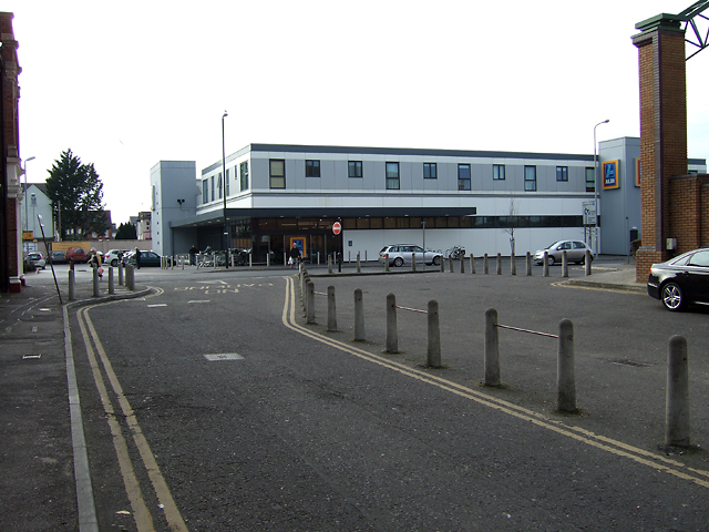
Image: © Mike Searle Taken: 5 Mar 2013
Haviland Road West at this end is no more, a short section of service road has replaced it leading to the side of the O2 Academy behind the camera position (formerly the Bournemouth Opera House, and historically, Boscombe Hippodrome). The view in front is of the Aldi Supermarket built on the site of the Hendy Ford garage. A view for comparison purposes with that taken in c.1988: Image
Images are licensed for reuse under creativecommons.org/licenses/by-sa/2.0
Image Location
Latitude
50.726523
Longitude
-1.841412