A view from Dock View Road, Barry
Introduction
The photograph on this page of A view from Dock View Road, Barry by Jaggery as part of the Geograph project.
The Geograph project started in 2005 with the aim of publishing, organising and preserving representative images for every square kilometre of Great Britain, Ireland and the Isle of Man.

There are currently over 7.5m images from over 14,400 individuals and you can help contribute to the project by visiting https://www.geograph.org.uk
A view from Dock View Road, Barry
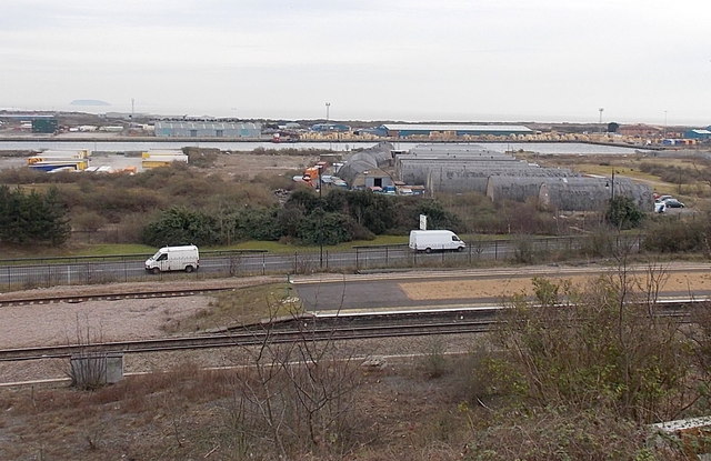
Image: © Jaggery Taken: 28 Feb 2013
In the foreground are the island platforms of Barry Docks railway station. http://www.geograph.org.uk/photo/3326549 Beyond them, centre right, are the Nissen Hut-like Romilly Buildings http://www.geograph.org.uk/photo/3326523 in Woodham Road.
Images are licensed for reuse under creativecommons.org/licenses/by-sa/2.0
Image Location
Latitude
51.401019
Longitude
-3.259083