Junction of Sandy Lane with Copsem Lane, showing location of a Coal Tax post
Introduction
The photograph on this page of Junction of Sandy Lane with Copsem Lane, showing location of a Coal Tax post by Stefan Czapski as part of the Geograph project.
The Geograph project started in 2005 with the aim of publishing, organising and preserving representative images for every square kilometre of Great Britain, Ireland and the Isle of Man.

There are currently over 7.5m images from over 14,400 individuals and you can help contribute to the project by visiting https://www.geograph.org.uk
Junction of Sandy Lane with Copsem Lane, showing location of a Coal Tax post
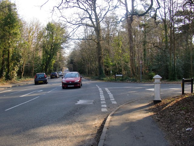
Image: © Stefan Czapski Taken: 5 Mar 2013
View southwards. The Coal Tax post stands at the corner where Sandy Lane meets Copsem Lane (which continues south as Warren Lane). For a closer view of the Coal Tax post (and a note on their history), see: http://www.geograph.org.uk/photo/3358931
Images are licensed for reuse under creativecommons.org/licenses/by-sa/2.0
Image Location
Latitude
51.343039
Longitude
-0.363647