Oaks near Babcombe
Introduction
The photograph on this page of Oaks near Babcombe by Derek Harper as part of the Geograph project.
The Geograph project started in 2005 with the aim of publishing, organising and preserving representative images for every square kilometre of Great Britain, Ireland and the Isle of Man.

There are currently over 7.5m images from over 14,400 individuals and you can help contribute to the project by visiting https://www.geograph.org.uk
Oaks near Babcombe
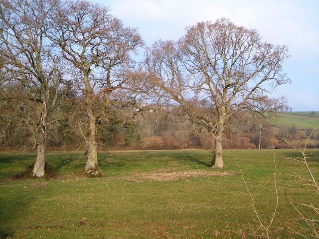
Image: © Derek Harper Taken: 19 Mar 2006
From the same spot as Image], looking to the left across the Ugbrooke Stream valley. Together with the oak shown in Image, this line of trees marks the course of an old field boundary along the valley.
Images are licensed for reuse under creativecommons.org/licenses/by-sa/2.0
Image Location
Latitude
50.582433
Longitude
-3.60155