Mudflats near Tayport
Introduction
The photograph on this page of Mudflats near Tayport by William Starkey as part of the Geograph project.
The Geograph project started in 2005 with the aim of publishing, organising and preserving representative images for every square kilometre of Great Britain, Ireland and the Isle of Man.

There are currently over 7.5m images from over 14,400 individuals and you can help contribute to the project by visiting https://www.geograph.org.uk
Mudflats near Tayport
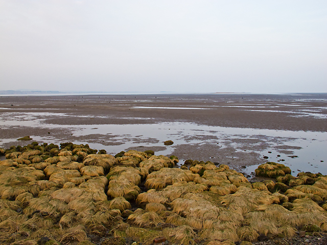
Image: © William Starkey Taken: 5 Mar 2013
A view towards the Tay estuary south of Snook Head, with large areas of sand and mud exposed at low tide.
Images are licensed for reuse under creativecommons.org/licenses/by-sa/2.0
Image Location
Latitude
56.441694
Longitude
-2.865918