Housing on Meldrum Road, Stockingford
Introduction
The photograph on this page of Housing on Meldrum Road, Stockingford by Richard Vince as part of the Geograph project.
The Geograph project started in 2005 with the aim of publishing, organising and preserving representative images for every square kilometre of Great Britain, Ireland and the Isle of Man.

There are currently over 7.5m images from over 14,400 individuals and you can help contribute to the project by visiting https://www.geograph.org.uk
Housing on Meldrum Road, Stockingford
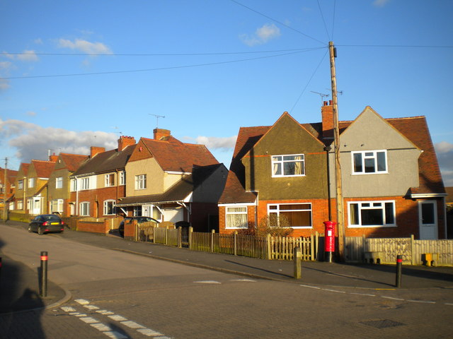
Image: © Richard Vince Taken: 2 Feb 2013
These houses on the upper half of Meldrum Road, seen from the end of Randle Road, appear to have been designed and built as quite a uniform set, but have been altered individually over the years.
Images are licensed for reuse under creativecommons.org/licenses/by-sa/2.0
Image Location
Latitude
52.520605
Longitude
-1.502706