Sheep pasture by the A381
Introduction
The photograph on this page of Sheep pasture by the A381 by Derek Harper as part of the Geograph project.
The Geograph project started in 2005 with the aim of publishing, organising and preserving representative images for every square kilometre of Great Britain, Ireland and the Isle of Man.

There are currently over 7.5m images from over 14,400 individuals and you can help contribute to the project by visiting https://www.geograph.org.uk
Sheep pasture by the A381
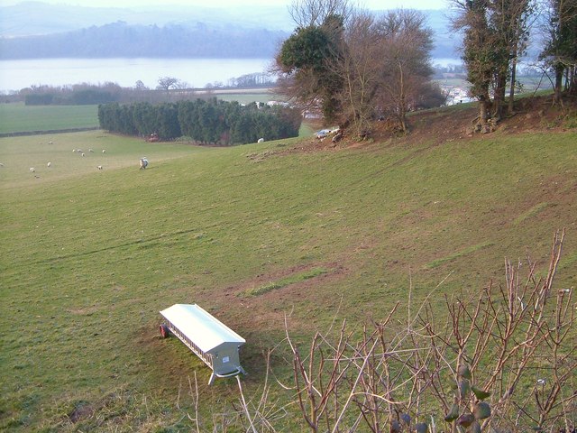
Image: © Derek Harper Taken: 19 Mar 2006
Taken from the stretch of main road shown in Image, with the same feeder. The conifer belt further down the hillside acts as a screen for the caravan site at Wear Farm, just visible. Beyond is the Teign estuary.
Images are licensed for reuse under creativecommons.org/licenses/by-sa/2.0
Image Location
Latitude
50.54874
Longitude
-3.566107