Re-development on old brewery site
Introduction
The photograph on this page of Re-development on old brewery site by chris whitehouse as part of the Geograph project.
The Geograph project started in 2005 with the aim of publishing, organising and preserving representative images for every square kilometre of Great Britain, Ireland and the Isle of Man.

There are currently over 7.5m images from over 14,400 individuals and you can help contribute to the project by visiting https://www.geograph.org.uk
Re-development on old brewery site
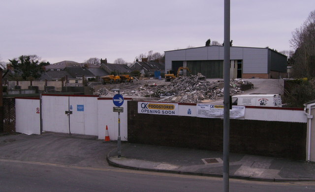
Image: © chris whitehouse Taken: 28 Feb 2013
Speculation about who and what was happening on this development site had been talked about for some years, now the sign gives all the information and even staff required for the new store.
Images are licensed for reuse under creativecommons.org/licenses/by-sa/2.0
Image Location
Latitude
51.799987
Longitude
-4.743023