Huthwaite, Sutton-in-Ashfield NG17, Notts.
Introduction
The photograph on this page of Huthwaite, Sutton-in-Ashfield NG17, Notts. by David Hallam-Jones as part of the Geograph project.
The Geograph project started in 2005 with the aim of publishing, organising and preserving representative images for every square kilometre of Great Britain, Ireland and the Isle of Man.

There are currently over 7.5m images from over 14,400 individuals and you can help contribute to the project by visiting https://www.geograph.org.uk
Huthwaite, Sutton-in-Ashfield NG17, Notts.
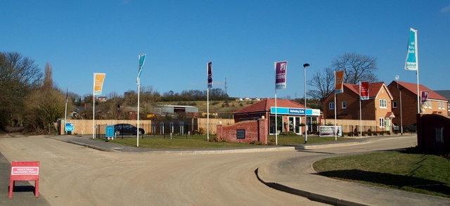
Image: © David Hallam-Jones Taken: 2 Mar 2013
The start (or end) of Mill Lane, an unsurfaced track descending from the B6026 road can be seen here on the left. On its way uphill (or downhill) it passes between the rear entrances of Huthwaite cemetery and "The Welfare (recreation) Ground". A row of half a dozen or so terraced houses known as "Colliery Cottages", associated with the former New Hucknall Colliery that existed until 1982, are situated behind the photographer's left shoulder. The Mill House Gardens housing development on the left (although not visible here) was completed some time ago (? date) and now the "Brierley Hills" housing development can be seen evolving on the right. Brierley Hill, Staffordshire is where some of the first miners in Huthwaite came from during the early 1870s.
Images are licensed for reuse under creativecommons.org/licenses/by-sa/2.0
Image Location
Latitude
53.12204
Longitude
-1.295861