Amersham Rise, Aspley Estate
Introduction
The photograph on this page of Amersham Rise, Aspley Estate by Richard Vince as part of the Geograph project.
The Geograph project started in 2005 with the aim of publishing, organising and preserving representative images for every square kilometre of Great Britain, Ireland and the Isle of Man.

There are currently over 7.5m images from over 14,400 individuals and you can help contribute to the project by visiting https://www.geograph.org.uk
Amersham Rise, Aspley Estate
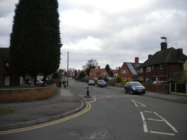
Image: © Richard Vince Taken: 1 Feb 2013
Looking along Amersham Rise into Aspley Estate from Aspley Lane, which forms the southern boundary of the estate. Aspley Estate is one of the earlier parts of the vast expanse of council housing that was constructed to the west of Nottingham from the 1920s onwards, and contains an interesting variety of architecture.
Images are licensed for reuse under creativecommons.org/licenses/by-sa/2.0
Image Location
Latitude
52.971759
Longitude
-1.199578