Newland Close, Wollaton
Introduction
The photograph on this page of Newland Close, Wollaton by Richard Vince as part of the Geograph project.
The Geograph project started in 2005 with the aim of publishing, organising and preserving representative images for every square kilometre of Great Britain, Ireland and the Isle of Man.

There are currently over 7.5m images from over 14,400 individuals and you can help contribute to the project by visiting https://www.geograph.org.uk
Newland Close, Wollaton
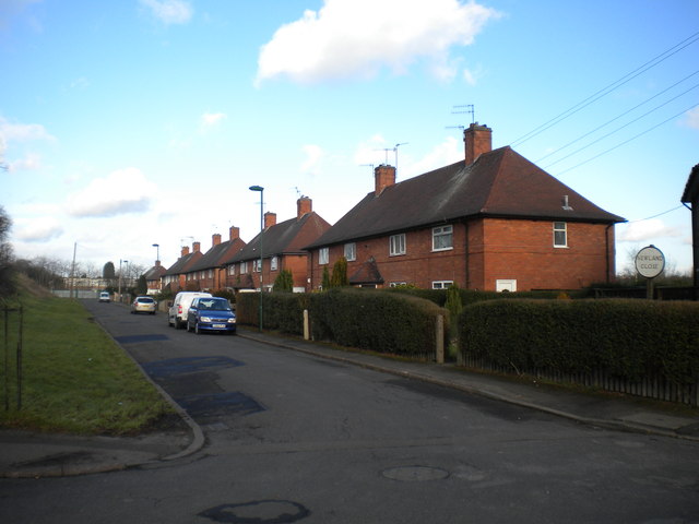
Image: © Richard Vince Taken: 1 Feb 2013
Newland Close runs parallel with Western Boulevard (part of Nottingham's ring road) near the north eastern edge of Wollaton. However, while the latter road rises to cross the Radford Junction to Trowell Junction railway line on a bridge, Newland Close remains level, and comes to an abrupt end where it meets the railway boundary fence (just visible in the distance). The terraces of four houses, with semihexagonal porches providing access to the middle dwellings, are typical of pre Second World War council estates in Nottingham, as is the circular street sign visible on the right. This estate is effectively cut in half by Western Boulevard, and is bounded to the north and east by the railway, to the south by Wollaton Road, and to the west by the now obliterated course of the Nottingham Canal.
Images are licensed for reuse under creativecommons.org/licenses/by-sa/2.0
Image Location
Latitude
52.957855
Longitude
-1.190605