Addlestone: Albert Road
Introduction
The photograph on this page of Addlestone: Albert Road by Nigel Cox as part of the Geograph project.
The Geograph project started in 2005 with the aim of publishing, organising and preserving representative images for every square kilometre of Great Britain, Ireland and the Isle of Man.

There are currently over 7.5m images from over 14,400 individuals and you can help contribute to the project by visiting https://www.geograph.org.uk
Addlestone: Albert Road
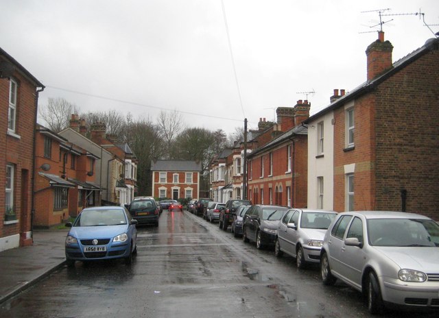
Image: © Nigel Cox Taken: 10 Feb 2013
This attractive cul-de-sac was originlly developed in the 1880s with later infills. The original Victorian houses have kept their "Villa" names. The modern block on the left was once the site of an Infants' School.
Images are licensed for reuse under creativecommons.org/licenses/by-sa/2.0
Image Location
Latitude
51.373647
Longitude
-0.479652