Riverside, Wraysbury
Introduction
The photograph on this page of Riverside, Wraysbury by Stefan Czapski as part of the Geograph project.
The Geograph project started in 2005 with the aim of publishing, organising and preserving representative images for every square kilometre of Great Britain, Ireland and the Isle of Man.

There are currently over 7.5m images from over 14,400 individuals and you can help contribute to the project by visiting https://www.geograph.org.uk
Riverside, Wraysbury
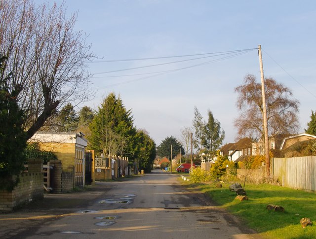
Image: © Stefan Czapski Taken: 27 Feb 2013
'Riverside' is the name of this residential road - where the properties on the west (left) side all have gardens which run down to the river.
Images are licensed for reuse under creativecommons.org/licenses/by-sa/2.0
Image Location
Latitude
51.4543
Longitude
-0.571967