Near Mains of Connage
Introduction
The photograph on this page of Near Mains of Connage by Anne Burgess as part of the Geograph project.
The Geograph project started in 2005 with the aim of publishing, organising and preserving representative images for every square kilometre of Great Britain, Ireland and the Isle of Man.

There are currently over 7.5m images from over 14,400 individuals and you can help contribute to the project by visiting https://www.geograph.org.uk
Near Mains of Connage
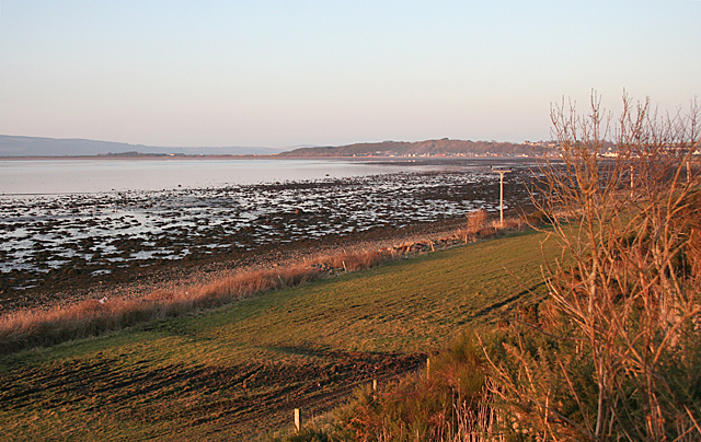
Image: © Anne Burgess Taken: 27 Feb 2013
The viewpoint here is on top of the raised beach which runs along much of the coast here, about 10 metres above the present sea level. The cultivable land in the foreground has been formed since the last Ice Age, that is, in the last 10,000 years or so.
Images are licensed for reuse under creativecommons.org/licenses/by-sa/2.0
Image Location
Latitude
57.554506
Longitude
-4.05387