Teversal, Sutton-in-Ashfield NG17, Notts
Introduction
The photograph on this page of Teversal, Sutton-in-Ashfield NG17, Notts by David Hallam-Jones as part of the Geograph project.
The Geograph project started in 2005 with the aim of publishing, organising and preserving representative images for every square kilometre of Great Britain, Ireland and the Isle of Man.

There are currently over 7.5m images from over 14,400 individuals and you can help contribute to the project by visiting https://www.geograph.org.uk
Teversal, Sutton-in-Ashfield NG17, Notts
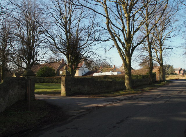
Image: © David Hallam-Jones Taken: 2 Mar 2013
The entrance to a drive that leads to the gates of Teversal Manor is seen here from Buttery Lane, that leads to the centre of this small village. Faulkes (2004) has noted that "the suffix 'sal' is from an old Saxon word meaning a seat or dwelling, mansion, palace or hall", an indication that an early landowner had a dwelling or residence here. Behind the photographer Buttery Lane joins the B6014 road in the Skegby area.
Images are licensed for reuse under creativecommons.org/licenses/by-sa/2.0
Image Location
Latitude
53.152325
Longitude
-1.279366