Ardblair Trail, between houses
Introduction
The photograph on this page of Ardblair Trail, between houses by Richard Dorrell as part of the Geograph project.
The Geograph project started in 2005 with the aim of publishing, organising and preserving representative images for every square kilometre of Great Britain, Ireland and the Isle of Man.

There are currently over 7.5m images from over 14,400 individuals and you can help contribute to the project by visiting https://www.geograph.org.uk
Ardblair Trail, between houses
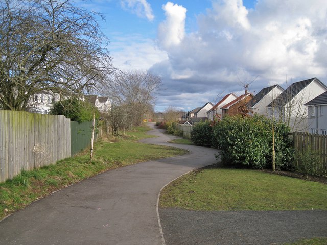
Image: © Richard Dorrell Taken: 24 Feb 2013
The path is the Ardblair Trail and existed long before the building of the modern houses which now enclose it at this point. The path forms part of a circular walk which takes in part of the town centre as well as some surrounding countryside. The houses on the right are in Maclaren Park, and on the left is Smithfield Crescent.
Images are licensed for reuse under creativecommons.org/licenses/by-sa/2.0
Image Location
Latitude
56.58132
Longitude
-3.340735