Fenced-off site of the demolished former Durham Road school, Newport
Introduction
The photograph on this page of Fenced-off site of the demolished former Durham Road school, Newport by Jaggery as part of the Geograph project.
The Geograph project started in 2005 with the aim of publishing, organising and preserving representative images for every square kilometre of Great Britain, Ireland and the Isle of Man.

There are currently over 7.5m images from over 14,400 individuals and you can help contribute to the project by visiting https://www.geograph.org.uk
Fenced-off site of the demolished former Durham Road school, Newport
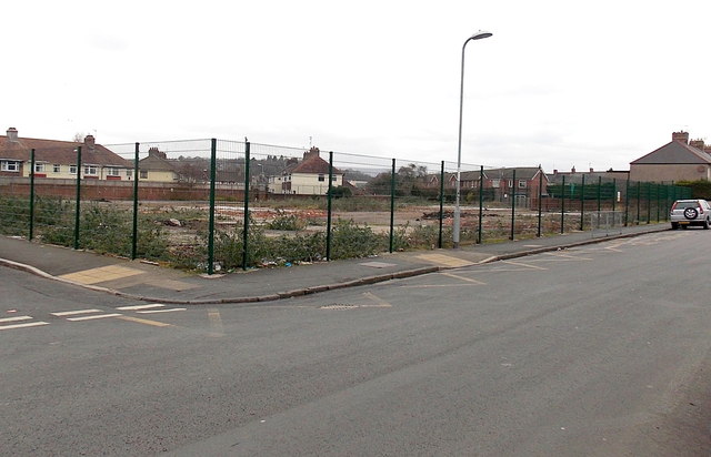
Image: © Jaggery Taken: 1 Mar 2013
Viewed from the corner of Durham Road and Elysia Street on March 1st 2013. This was the location of Durham Road School http://www.geograph.org.uk/photo/1693048 which closed at the end of 2009. Pupils and staff transferred to the nearby newly-built Glan Usk school, http://www.geograph.org.uk/photo/1934876 which opened in January 2010. The new school was a long-awaited replacement for the Victorian buildings, which had been declared unfit for purpose more than a decade earlier. There was no indication on the fencing of the future use of this vacant area.
Images are licensed for reuse under creativecommons.org/licenses/by-sa/2.0
Image Location
Latitude
51.597785
Longitude
-2.983849