Development Land, Amherst Hill (4)
Introduction
The photograph on this page of Development Land, Amherst Hill (4) by David Anstiss as part of the Geograph project.
The Geograph project started in 2005 with the aim of publishing, organising and preserving representative images for every square kilometre of Great Britain, Ireland and the Isle of Man.

There are currently over 7.5m images from over 14,400 individuals and you can help contribute to the project by visiting https://www.geograph.org.uk
Development Land, Amherst Hill (4)
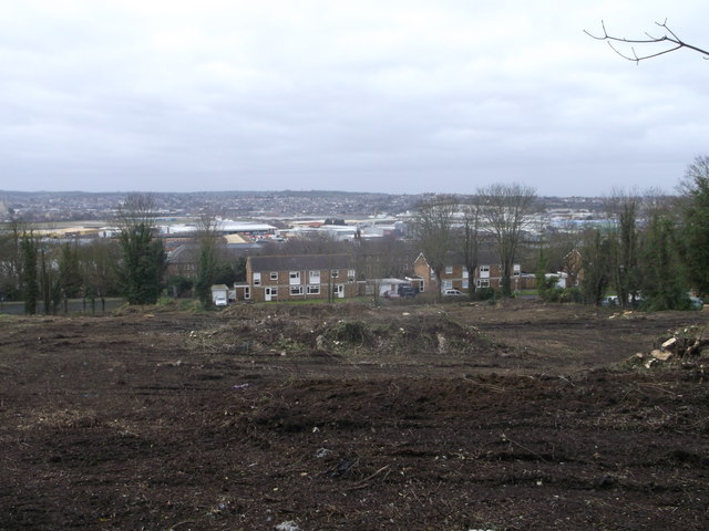
Image: © David Anstiss Taken: 1 Mar 2013
This large piece of land is between Khartoum Road (in the background) and Maxwell Road. For ages it has been a patch of wildscrub and trees. In the background is the River Medway and views towards Strood and Medway City Industrial Estate. The land on the left, beyond the green fence is part of the Fort Amherst and the Great Lines Heritage Park.
Images are licensed for reuse under creativecommons.org/licenses/by-sa/2.0
Image Location
Latitude
51.387791
Longitude
0.528501