Houses on Dunkeld Avenue
Introduction
The photograph on this page of Houses on Dunkeld Avenue by Nigel Mykura as part of the Geograph project.
The Geograph project started in 2005 with the aim of publishing, organising and preserving representative images for every square kilometre of Great Britain, Ireland and the Isle of Man.

There are currently over 7.5m images from over 14,400 individuals and you can help contribute to the project by visiting https://www.geograph.org.uk
Houses on Dunkeld Avenue
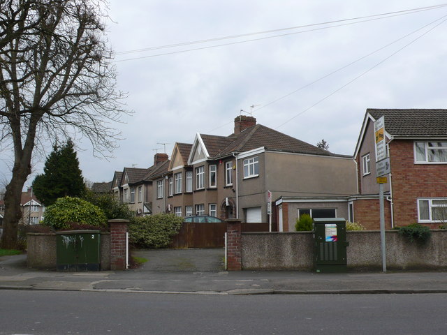
Image: © Nigel Mykura Taken: 23 Feb 2013
This row of thirties semi detached pebble dashed houses is on the bottom end of Dunkeld Avenue at its junction with Southmead Road the B4056. Dunkeld Ave curves to the left after these houses and runs parallel to Southmead Road, the road in the foreground.
Images are licensed for reuse under creativecommons.org/licenses/by-sa/2.0
Image Location
Latitude
51.503061
Longitude
-2.587476