Overgrown route at Cloatley
Introduction
The photograph on this page of Overgrown route at Cloatley by Trevor Rickard as part of the Geograph project.
The Geograph project started in 2005 with the aim of publishing, organising and preserving representative images for every square kilometre of Great Britain, Ireland and the Isle of Man.

There are currently over 7.5m images from over 14,400 individuals and you can help contribute to the project by visiting https://www.geograph.org.uk
Overgrown route at Cloatley
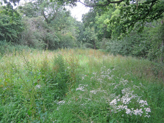
Image: © Trevor Rickard Taken: 13 Jul 2011
Looking west along what was once a green lane or farm track. Quite heavy going as I was clearly the only one to pass by here for a long time. Very much an unofficial nature reserve.
Images are licensed for reuse under creativecommons.org/licenses/by-sa/2.0
Image Location
Latitude
51.613509
Longitude
-2.009917