New Houses Horfield
Introduction
The photograph on this page of New Houses Horfield by Nigel Mykura as part of the Geograph project.
The Geograph project started in 2005 with the aim of publishing, organising and preserving representative images for every square kilometre of Great Britain, Ireland and the Isle of Man.

There are currently over 7.5m images from over 14,400 individuals and you can help contribute to the project by visiting https://www.geograph.org.uk
New Houses Horfield
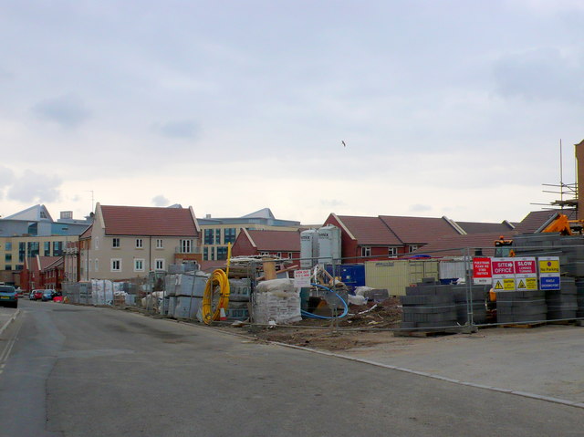
Image: © Nigel Mykura Taken: 23 Feb 2013
These houses are being built on the north side of Dorian Road a few blocks west of the A38. In the background can be seen the top of Southmead Hospital.
Images are licensed for reuse under creativecommons.org/licenses/by-sa/2.0
Image Location
Latitude
51.49389
Longitude
-2.587502