Guided busway and the A14
Introduction
The photograph on this page of Guided busway and the A14 by John Sutton as part of the Geograph project.
The Geograph project started in 2005 with the aim of publishing, organising and preserving representative images for every square kilometre of Great Britain, Ireland and the Isle of Man.

There are currently over 7.5m images from over 14,400 individuals and you can help contribute to the project by visiting https://www.geograph.org.uk
Guided busway and the A14
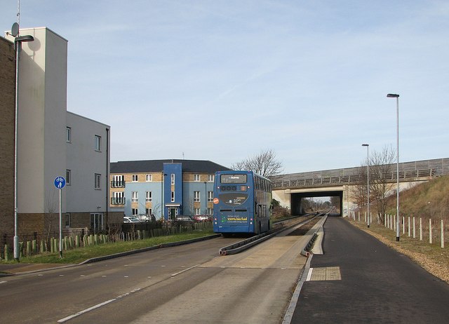
Image: © John Sutton Taken: 28 Feb 2013
The guided bus had just left the Cambridge Regional College stop at Kings Hedges and was about to tunnel under the A14. Its next stop was Histon.
Images are licensed for reuse under creativecommons.org/licenses/by-sa/2.0
Image Location
Latitude
52.236084
Longitude
0.128564