The Centre of Flagg Village
Introduction
The photograph on this page of The Centre of Flagg Village by Jonathan Clitheroe as part of the Geograph project.
The Geograph project started in 2005 with the aim of publishing, organising and preserving representative images for every square kilometre of Great Britain, Ireland and the Isle of Man.

There are currently over 7.5m images from over 14,400 individuals and you can help contribute to the project by visiting https://www.geograph.org.uk
The Centre of Flagg Village
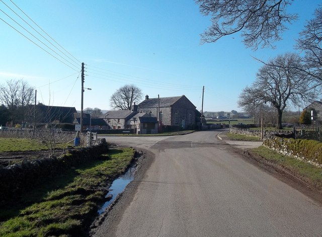
Image: © Jonathan Clitheroe Taken: 27 Feb 2013
The old Viking settlement of Flagg has a linear and fairly sparse layout although the Methodist Church seen here in the centre of picture roughly marks the centre of the village.
Images are licensed for reuse under creativecommons.org/licenses/by-sa/2.0
Image Location
Latitude
53.21204
Longitude
-1.797513