Rural Blairgowrie
Introduction
The photograph on this page of Rural Blairgowrie by Richard Dorrell as part of the Geograph project.
The Geograph project started in 2005 with the aim of publishing, organising and preserving representative images for every square kilometre of Great Britain, Ireland and the Isle of Man.

There are currently over 7.5m images from over 14,400 individuals and you can help contribute to the project by visiting https://www.geograph.org.uk
Rural Blairgowrie
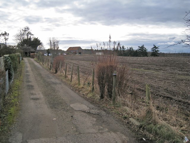
Image: © Richard Dorrell Taken: 24 Feb 2013
Agricultural land lies just behind the houses to the west of Perth Road. This image was taken looking south west from the cul-de-sac end of West Altamount Lane.
Images are licensed for reuse under creativecommons.org/licenses/by-sa/2.0
Image Location
Latitude
56.584579
Longitude
-3.346712