Double Bridge, North Skelton
Introduction
The photograph on this page of Double Bridge, North Skelton by Mick Garratt as part of the Geograph project.
The Geograph project started in 2005 with the aim of publishing, organising and preserving representative images for every square kilometre of Great Britain, Ireland and the Isle of Man.

There are currently over 7.5m images from over 14,400 individuals and you can help contribute to the project by visiting https://www.geograph.org.uk
Double Bridge, North Skelton
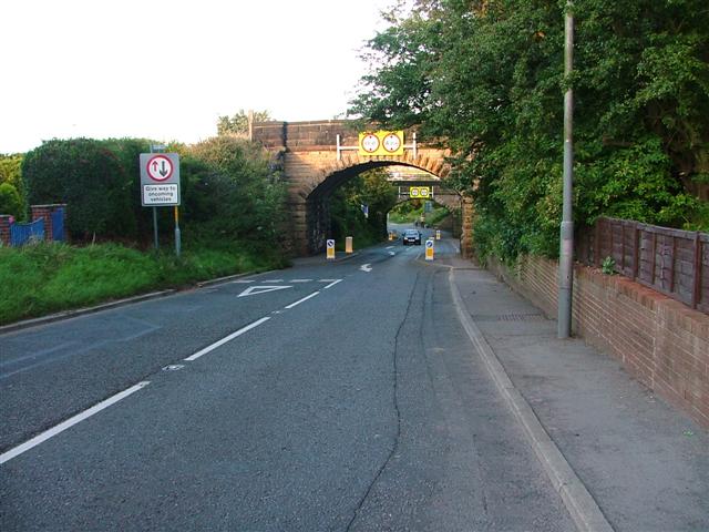
Image: © Mick Garratt Taken: 24 Aug 2005
The nearer bridge is disused and used to carry a mineral branch line. The further one carries the line to Boulby Potash Mine.
Images are licensed for reuse under creativecommons.org/licenses/by-sa/2.0
Image Location


Leaflet Map data © OpenStreetMap
Latitude
54.558214
Longitude
-0.955282