Manor Farm Huish
Introduction
The photograph on this page of Manor Farm Huish by Gillie Rhodes as part of the Geograph project.
The Geograph project started in 2005 with the aim of publishing, organising and preserving representative images for every square kilometre of Great Britain, Ireland and the Isle of Man.

There are currently over 7.5m images from over 14,400 individuals and you can help contribute to the project by visiting https://www.geograph.org.uk
Manor Farm Huish
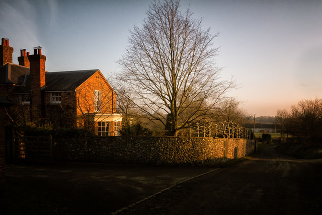
Image: © Gillie Rhodes Taken: 27 Feb 2013
View of a small part of the Manor Farm House. The small Road finishes at the farm & runs from a T junction on the Oare / Draycot Fitz Payne road. The wall hides a walled garden and has Pollarded and trained trees running along the top and a door complete with letterbox leading into the garden.
Images are licensed for reuse under creativecommons.org/licenses/by-sa/2.0
Image Location
Latitude
51.372535
Longitude
-1.793222