Footpath Towards Tenter Hill
Introduction
The photograph on this page of Footpath Towards Tenter Hill by Rude Health as part of the Geograph project.
The Geograph project started in 2005 with the aim of publishing, organising and preserving representative images for every square kilometre of Great Britain, Ireland and the Isle of Man.

There are currently over 7.5m images from over 14,400 individuals and you can help contribute to the project by visiting https://www.geograph.org.uk
Footpath Towards Tenter Hill
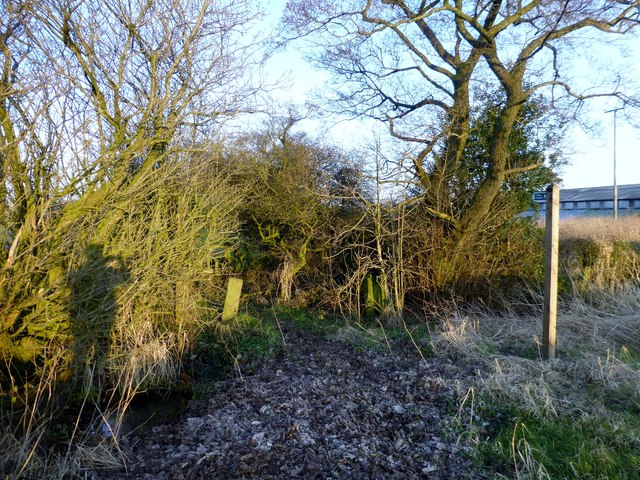
Image: © Rude Health Taken: 27 Feb 2013
This footpath heads from Back Lane above the poultry Farm buildings towards Tenter Hill across pasture land. Just a quick photo in late sunlight on the way home from work.
Images are licensed for reuse under creativecommons.org/licenses/by-sa/2.0
Image Location
Latitude
53.827697
Longitude
-2.647017