Actoncliff and Dutton Viaduct
Introduction
The photograph on this page of Actoncliff and Dutton Viaduct by Dave Dunford as part of the Geograph project.
The Geograph project started in 2005 with the aim of publishing, organising and preserving representative images for every square kilometre of Great Britain, Ireland and the Isle of Man.

There are currently over 7.5m images from over 14,400 individuals and you can help contribute to the project by visiting https://www.geograph.org.uk
Actoncliff and Dutton Viaduct
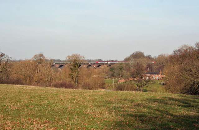
Image: © Dave Dunford Taken: 17 Feb 2013
Pretty view over the valley of Cliff Brook to the Dutton Viaduct carrying the West Coast Mainline over the River Weaver.
Images are licensed for reuse under creativecommons.org/licenses/by-sa/2.0
Image Location
Latitude
53.2757
Longitude
-2.632799