Cliveden Place, Longton
Introduction
The photograph on this page of Cliveden Place, Longton by Steven Birks as part of the Geograph project.
The Geograph project started in 2005 with the aim of publishing, organising and preserving representative images for every square kilometre of Great Britain, Ireland and the Isle of Man.

There are currently over 7.5m images from over 14,400 individuals and you can help contribute to the project by visiting https://www.geograph.org.uk
Cliveden Place, Longton
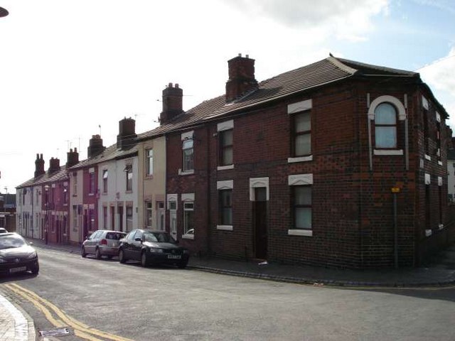
Image: © Steven Birks Taken: 19 Sep 2006
Cliveden Place is a street close to the A50 road. Just by the top of Cliveden Place is the Sutherland Institute: http://www.geograph.org.uk/photo/122101
Images are licensed for reuse under creativecommons.org/licenses/by-sa/2.0
Image Location
Latitude
52.983365
Longitude
-2.134011