Double Cattle Grid
Introduction
The photograph on this page of Double Cattle Grid by Nigel Mykura as part of the Geograph project.
The Geograph project started in 2005 with the aim of publishing, organising and preserving representative images for every square kilometre of Great Britain, Ireland and the Isle of Man.

There are currently over 7.5m images from over 14,400 individuals and you can help contribute to the project by visiting https://www.geograph.org.uk
Double Cattle Grid
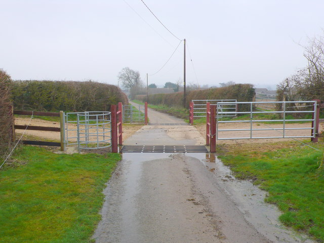
Image: © Nigel Mykura Taken: 20 Feb 2013
These two cattle grids are on Furge Lane leading north west out of Henstridge. The farmer closes the gates when herds of cattle are crossing to go to the milking parlour. Kissing gates have been provided for pedestrians.
Images are licensed for reuse under creativecommons.org/licenses/by-sa/2.0
Image Location
Latitude
50.972792
Longitude
-2.39888