The church of St Lawrence, Atwick
Introduction
The photograph on this page of The church of St Lawrence, Atwick by John S Turner as part of the Geograph project.
The Geograph project started in 2005 with the aim of publishing, organising and preserving representative images for every square kilometre of Great Britain, Ireland and the Isle of Man.

There are currently over 7.5m images from over 14,400 individuals and you can help contribute to the project by visiting https://www.geograph.org.uk
The church of St Lawrence, Atwick
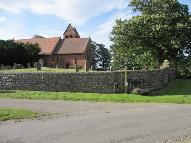
Image: © John S Turner Taken: 6 Sep 2012
Looking towards the church across the junction of Canham Lane (sharp left) and Marsk Lane to the left, which is a track. Church Lane continues to the right.
Images are licensed for reuse under creativecommons.org/licenses/by-sa/2.0
Image Location
Latitude
53.939673
Longitude
-0.196723