Rail Access Point Information, Old Wickham Lane
Introduction
The photograph on this page of Rail Access Point Information, Old Wickham Lane by Danny P Robinson as part of the Geograph project.
The Geograph project started in 2005 with the aim of publishing, organising and preserving representative images for every square kilometre of Great Britain, Ireland and the Isle of Man.

There are currently over 7.5m images from over 14,400 individuals and you can help contribute to the project by visiting https://www.geograph.org.uk
Rail Access Point Information, Old Wickham Lane
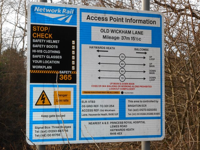
Image: © Danny P Robinson Taken: 27 Jan 2013
This access point is where Old Wickham Lane crosses the London to Brighton mainline.
Images are licensed for reuse under creativecommons.org/licenses/by-sa/2.0
Image Location
Latitude
51.012857
Longitude
-0.104001