Country Lane
Introduction
The photograph on this page of Country Lane by Nigel Mykura as part of the Geograph project.
The Geograph project started in 2005 with the aim of publishing, organising and preserving representative images for every square kilometre of Great Britain, Ireland and the Isle of Man.

There are currently over 7.5m images from over 14,400 individuals and you can help contribute to the project by visiting https://www.geograph.org.uk
Country Lane
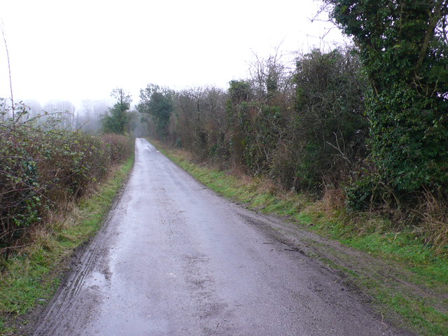
Image: © Nigel Mykura Taken: 9 Feb 2013
This metalled track which is also a bridle path leads to the large poultry farm of Charisworth from the A354 just north east of Winterborne Whitechurch.
Images are licensed for reuse under creativecommons.org/licenses/by-sa/2.0
Image Location
Latitude
50.815932
Longitude
-2.201939