Bridle Path and Track
Introduction
The photograph on this page of Bridle Path and Track by Nigel Mykura as part of the Geograph project.
The Geograph project started in 2005 with the aim of publishing, organising and preserving representative images for every square kilometre of Great Britain, Ireland and the Isle of Man.

There are currently over 7.5m images from over 14,400 individuals and you can help contribute to the project by visiting https://www.geograph.org.uk
Bridle Path and Track
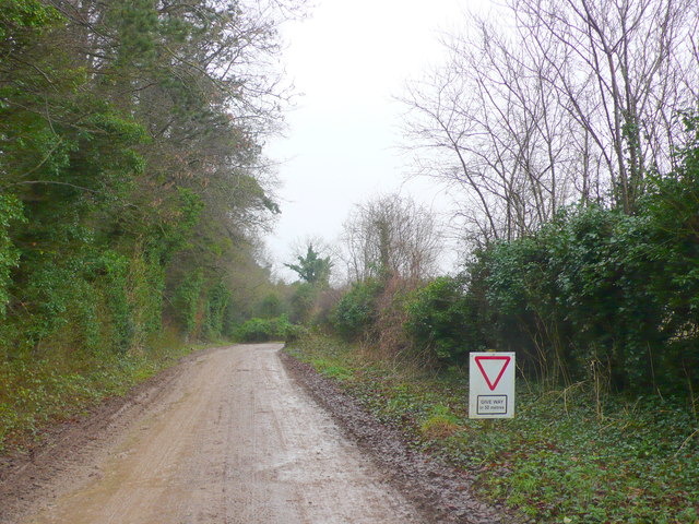
Image: © Nigel Mykura Taken: 9 Feb 2013
Large numbers of vehicles use this bridle path and farm track in accessing the extreme sports and activity centre. There are several cross country tracks laid out in the fields between Holly Brake and Grosvenor Bushes for motor sports such as quad biking and 4 X 4 cross country.
Images are licensed for reuse under creativecommons.org/licenses/by-sa/2.0
Image Location
Latitude
50.812628
Longitude
-2.187589