Aelfleda Terrace, following demolition #2
Introduction
The photograph on this page of Aelfleda Terrace, following demolition #2 by Mike Kirby as part of the Geograph project.
The Geograph project started in 2005 with the aim of publishing, organising and preserving representative images for every square kilometre of Great Britain, Ireland and the Isle of Man.

There are currently over 7.5m images from over 14,400 individuals and you can help contribute to the project by visiting https://www.geograph.org.uk
Aelfleda Terrace, following demolition #2
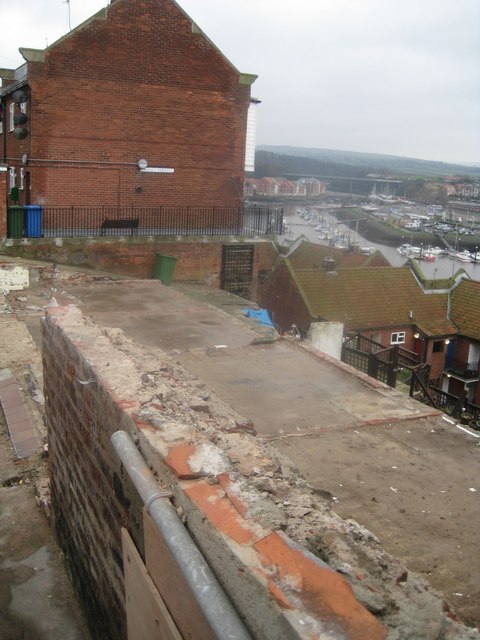
Image: © Mike Kirby Taken: 10 Feb 2013
A landslide occurred immediately in front of Aelfleda Terrace on 27th November 2012, following a prolonged period of heavy rain. The 150-year-old former jetworkers’ cottages were very quickly demolished afterwards, to prevent them from crashing down on properties below. Hundreds of years of history gone forever. See Image and Image
Images are licensed for reuse under creativecommons.org/licenses/by-sa/2.0
Image Location
Latitude
54.486298
Longitude
-0.609927