The grounds of the former Poor Clare Convent at Mayobridge
Introduction
The photograph on this page of The grounds of the former Poor Clare Convent at Mayobridge by Eric Jones as part of the Geograph project.
The Geograph project started in 2005 with the aim of publishing, organising and preserving representative images for every square kilometre of Great Britain, Ireland and the Isle of Man.

There are currently over 7.5m images from over 14,400 individuals and you can help contribute to the project by visiting https://www.geograph.org.uk
The grounds of the former Poor Clare Convent at Mayobridge
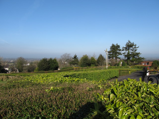
Image: © Eric Jones Taken: 19 Feb 2013
These grounds contain a shrine to St Anne.
Images are licensed for reuse under creativecommons.org/licenses/by-sa/2.0
Image Location
Latitude
54.177426
Longitude
-6.233858