Island Lass in dock at Croig
Introduction
The photograph on this page of Island Lass in dock at Croig by Peter Evans as part of the Geograph project.
The Geograph project started in 2005 with the aim of publishing, organising and preserving representative images for every square kilometre of Great Britain, Ireland and the Isle of Man.

There are currently over 7.5m images from over 14,400 individuals and you can help contribute to the project by visiting https://www.geograph.org.uk
Island Lass in dock at Croig
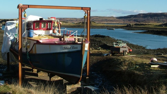
Image: © Peter Evans Taken: 20 Feb 2013
The Island Lass in dry dock at Croig in February 2013 - one of the Turus Mara boats used for wildlife trips out to Staffa, Iona and other isles of Mull. http://www.turusmara.com/
Images are licensed for reuse under creativecommons.org/licenses/by-sa/2.0
Image Location
Latitude
56.602196
Longitude
-6.233506