
Railway bridge
Introduction
The photograph on this page of Railway bridge by Caroline Tandy as part of the Geograph project.
The Geograph project started in 2005 with the aim of publishing, organising and preserving representative images for every square kilometre of Great Britain, Ireland and the Isle of Man.

There are currently over 7.5m images from over 14,400 individuals and you can help contribute to the project by visiting https://www.geograph.org.uk
Railway bridge
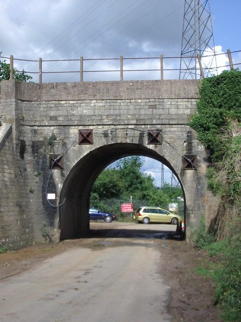
Image: © Caroline Tandy Taken: 27 Jul 2003
Grade II listed railway bridge, east elevation. English Heritage listing information says it was "built about 1844 for Bristol and Gloucester Railway. Punched limestone; top of parapet rebuilt in brick. Round-headed arch with plain band over. Splayed retaining walls. One of the original bridges in a relatively intact state." Pylons marked on the map can also be seen in the photo. Beyond the yellow car is the boundary of Stanley Downton sewage treatment works.
Images are licensed for reuse under creativecommons.org/licenses/by-sa/2.0
Image Location

Latitude
51.738642
Longitude
-2.300308