Bank Alley, Tring
Introduction
The photograph on this page of Bank Alley, Tring by Rob Farrow as part of the Geograph project.
The Geograph project started in 2005 with the aim of publishing, organising and preserving representative images for every square kilometre of Great Britain, Ireland and the Isle of Man.

There are currently over 7.5m images from over 14,400 individuals and you can help contribute to the project by visiting https://www.geograph.org.uk
Bank Alley, Tring
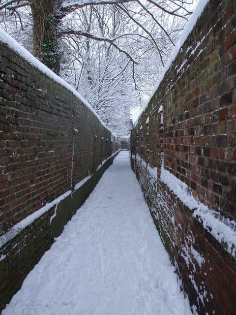
Image: © Rob Farrow Taken: 8 Feb 2007
I'm not at all sure that "Bank Alley" is the official name for this back alley in Tring, but as it leaves the High Street between the HSBC (formerly Midland) and NatWest Banks, this is the name by which everyone knows it. At the far end of this straight alley can be seen a wall, the alley then continues 90º left for a few yards/metres before turning 90º right and continuing along the back of the more modern buildings of Image] eventually coming out on Park Street, where it continues as a footpath into Image] / Image
Images are licensed for reuse under creativecommons.org/licenses/by-sa/2.0
Image Location


Leaflet Map data © OpenStreetMap
Latitude
51.793269
Longitude
-0.661484