Caerwent Lane houses, Chepstow
Introduction
The photograph on this page of Caerwent Lane houses, Chepstow by Jaggery as part of the Geograph project.
The Geograph project started in 2005 with the aim of publishing, organising and preserving representative images for every square kilometre of Great Britain, Ireland and the Isle of Man.

There are currently over 7.5m images from over 14,400 individuals and you can help contribute to the project by visiting https://www.geograph.org.uk
Caerwent Lane houses, Chepstow
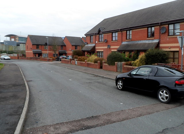
Image: © Jaggery Taken: 13 Nov 2012
The houses are built on land that was formerly part of Thornwell Farm. The nearby Grade II listed former farmhouse http://www.geograph.org.uk/photo/3341848 has been converted to flats.
Images are licensed for reuse under creativecommons.org/licenses/by-sa/2.0
Image Location
Latitude
51.621853
Longitude
-2.668745