Meander in Stanley Burn
Introduction
The photograph on this page of Meander in Stanley Burn by Anthony Foster as part of the Geograph project.
The Geograph project started in 2005 with the aim of publishing, organising and preserving representative images for every square kilometre of Great Britain, Ireland and the Isle of Man.

There are currently over 7.5m images from over 14,400 individuals and you can help contribute to the project by visiting https://www.geograph.org.uk
Meander in Stanley Burn
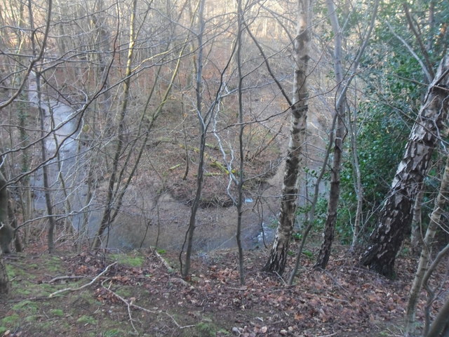
Image: © Anthony Foster Taken: 2 Feb 2013
Stanley Burn is the boundary between the historic counties of Northumberland and Durham. Stanleyburn Wood is open access land managed by the Woodland Trust.
Images are licensed for reuse under creativecommons.org/licenses/by-sa/2.0
Image Location
Latitude
54.964827
Longitude
-1.821449