Styal Road and the end of Holts Lane
Introduction
The photograph on this page of Styal Road and the end of Holts Lane by Bill Boaden as part of the Geograph project.
The Geograph project started in 2005 with the aim of publishing, organising and preserving representative images for every square kilometre of Great Britain, Ireland and the Isle of Man.

There are currently over 7.5m images from over 14,400 individuals and you can help contribute to the project by visiting https://www.geograph.org.uk
Styal Road and the end of Holts Lane
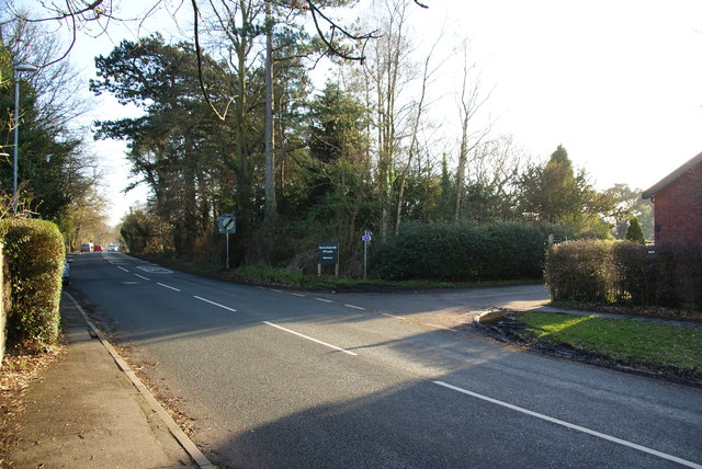
Image: © Bill Boaden Taken: 16 Feb 2013
An original route down to Quarry Bank Mill, but cars now have to go a bit further before turning right.
Images are licensed for reuse under creativecommons.org/licenses/by-sa/2.0
Image Location
Latitude
53.347427
Longitude
-2.241803